SEE BELOW FOR JOHN’S DRONE PICTURES
Ground photos low tide 05.05.19
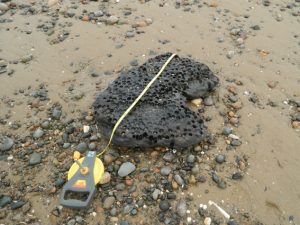
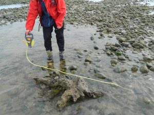
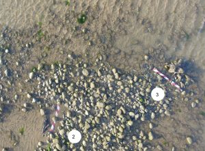
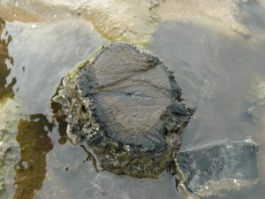
Fragment of peat bed on beach largest of 3 visible stumps Drone No 3
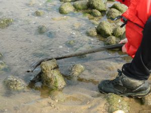
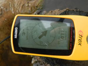
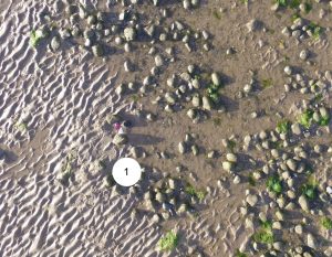
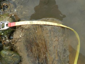
Cutting sample 1 Drone No 1 cut stump altitude -4ft, -1m
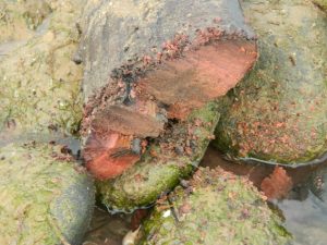
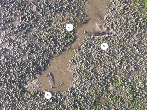
sample 2 Drone No 7 approx area log now covered or washed away cut edge – very red
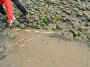
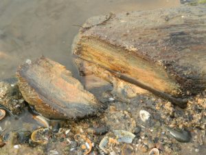
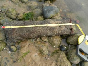
sample 3 length 160cm plus whatever is under stones, width 20cm Drone No 5 sample 3 cut edge – very yellow
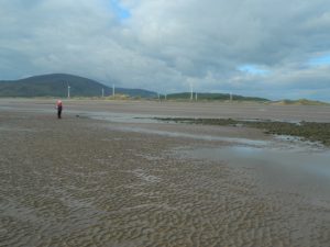
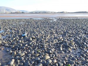
site very much diminished even in the last few weeks
DRONE PHOTOS low tide 5th May 2019
10cm red and white chevrons for sizing using tape
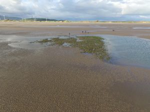
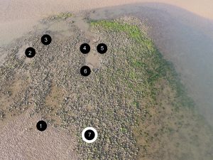
sites for close up pictures