Click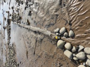 here or on the tree trunk
to read the complete report on the project
See latest pictures from cutting samples for C14 dating
See Craig’s pics from last year underneath the current ones
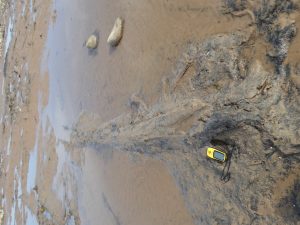
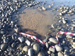
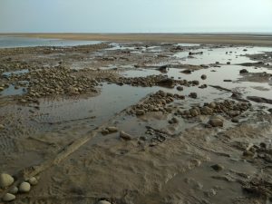
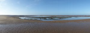 View of “moat” around site
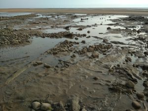
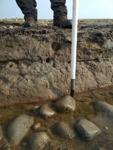
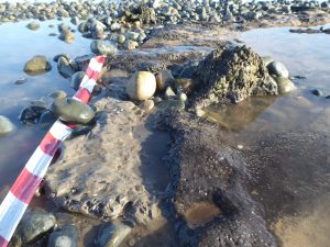 The only place showing the grey clay layer under the peat. No red clay showing anywhere
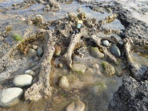
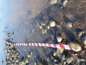
 Some stumps showing – red/white chevrons at 10cm intervals
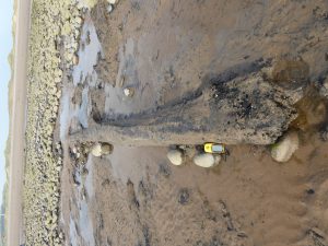
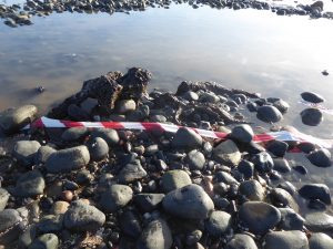
 Only long trunk well under water even at lowest tide
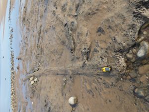
 Even shorter stumps under surface
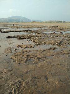
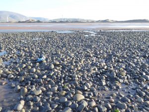 View back across the pebbles to the shore
Last year:
Last year with eTrex GPS unit 4″/110mm for scale